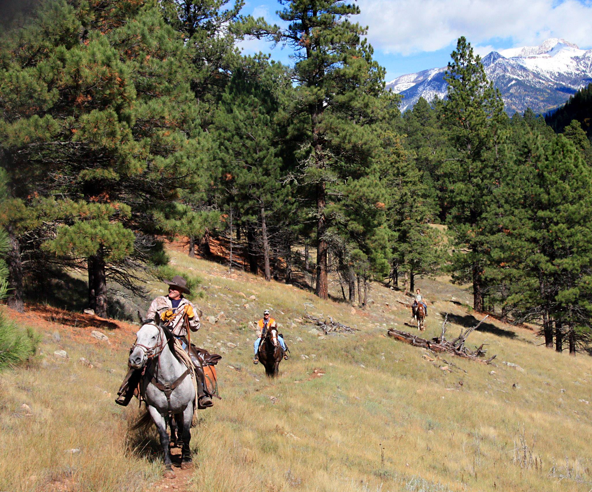
Hiking and Horseback Trails
ATV Trails and UTV Trails
Bike Trails
The San Juan National Forest covers 1.8 million acres in the southwestern corner of Colorado. As a part of this forest there are two wilderness areas. For simplification, we have divided the trails to those on the north side of Hwy 160 and the south side of Hwy 160. The description of the wilderness area may or may not apply to a specific trail but does coincide with that wilderness accessibility.
About the Weminuche Wilderness
Welcome to Colorado’s largest wilderness—extending more than 488,210 acres. With its average elevation of 10,000-feet, there are lofty peaks extending in all directions. The wilderness is highly used yet generally unspoiled.
Designated in 1975, and expanded to its current size by the Colorado Wilderness Acts of 1980 and 1993, the wilderness contains the headwaters of dozens of major streams and rivers; these water sources drain into the Rio Grande and San Juan Rivers – two of the Southwest’s most ecologically and culturally significant waterways. The landscape is of glacial valleys, windswept ridges and crags and abundant above tree line elevation. The ragged peaks and soaring cliffs, formed over millions of years as volcanic eruptions covered the landscape, adds to the dramatically different mountain landscapes this wilderness area offers in its largeness.
The Weminuche Wilderness has 490-miles of trails, many of those high elevation trails, including 80-miles of the Continental Divide Trail. While many of the trails are easy to follow, there are areas where route finding will be challenging and obstructed by the overgrowth of willow. Pockets of snow can extend through the year. Deteriorating weather, including snow, can fall any month of the year. In the wet season, thunderstorms are a persistent problem which can easily shorten any day of travel above tree line.
Trip Planning Information Weminuche Wilderness
About the South San Juan Wilderness
The South San Juan Wilderness covers more than 127,000 acres of spectacular mountainous terrain and offers high tundra, sweeping vistas and solitude. Elevations in the wilderness range from 8,000-feet to more than 13,000-feet.
Ages of volcanic activity followed by the infinitely patient carving of glaciers left the rough, imposing terrain of the remote South San Juan Wilderness, an area typified by steep slopes above broad U-shaped valleys cut sharply deeper by eroding streams. You’ll find high peaks and cliffs, as well as jagged pinnacles and ragged ridges, making travel difficult. Elevations rise as high as 13,300 feet. Thirty-two lakes, most of them formed by glacial activity, hold much of the area’s moisture and drain into turbulent creeks. The Conejos, San Juan, and Blanco Rivers have their headwaters here, and about 25 miles of the Conejos River has been recommended for Wild and Scenic designation. Erosion of rich volcanic rock in combination with heavy snowfall has produced ideal forestland, certainly among the best in the state. Forest ecosystems rise from the shadowy cover of magnificent lodgepole pine to aspen, then through Engelmann spruce and subalpine fir to alpine tundra. Much of the forestland has a peaceful, park-like quality under the trees where sun-starved undergrowth grows thin and low.
Trip Planning Information South San Juan Wilderness
Turkey Springs Trail System
The Turkey Springs trail system consists of numerous interconnected single-track non-motorized routes, providing more than 30 miles of trail to ride, run or ski. Numerous loops originating from several different trailheads are available. Gravel forest service access roads and ATV trails provide additional connectivity and loop options.
This area offers aspen stands, large open parks, rock outcroppings. The terrain is generally gentle slopes but rocks, short steep pitches and side slopes add variety to the undulating terrain. Trail names and numbers are both displayed on the map.
Chimney Rock Trail System
This undiscovered gem is an intimate, off-the-beaten-path archaeological site located at the southern edge of the San Juan Mountains in Southwestern Colorado. You’ll walk in the footsteps of the fascinating and enigmatic Ancestral Puebloans of the Chaco Canyon, following primitive pathways that haven’t changed for 1,000 years. Archaeological ruins and artifacts, abundant wildlife, and its setting in the breathtaking San Juan National Forest make Chimney Rock a must-see.
Chimney Rock covers seven square miles and preserves 200 ancient homes and ceremonial buildings, some of which have been excavated for viewing and exploration: a Great Kiva, a Pit House, a Multi-Family Dwelling, and a Chacoan-style Great House Pueblo. Chimney Rock is the highest in elevation of all the Chacoan sites, at about 7,000 feet above sea level. From the base, the hike to the top is just a half mile and it’s rewarded with dramatic 360-degree views of Colorado and New Mexico.
Chimney Rock Trail (Great Kiva) No 669 – Visit the National Monument Website
Chimney Rock Trail to Pueblo No 632 – Visit the National Monument Website
